- Who We Are
- What We Do
- Success Stories
- Careers
- News & Events
- Contact us
Industry’s pioneer in IT software, Infrastructure solutions and Services.
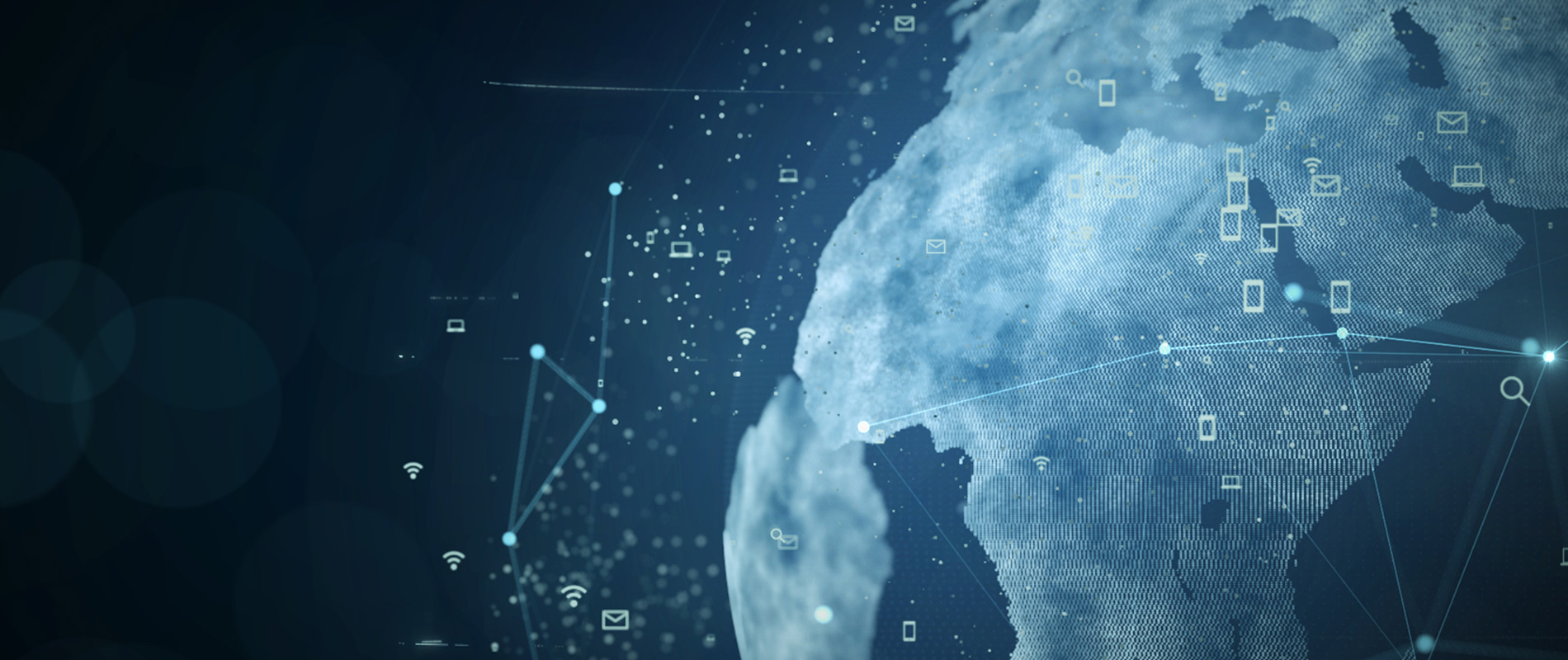
When people think about satellites, they often picture these big metal objects orbiting around the Earth, as you see in movies. However, not many really understand why these satellites are up there. What people don’t realize is that we benefit greatly from satellite-driven data in our daily lives.
What Is Earth Observation Technology?
Earth observation is the process by which we take pictures of the Earth’s surface and analyze them to find solutions. These solutions could be in terms of agricultural farming, weather forecasts, navigation, or even disaster prevention.
Satellites provide vital data for the researchers who develop these solutions and allow them to understand how the Earth is doing.
What Are Applications Of Satellite-Driven Data?
There are many applications of Earth observation technology and satellite-driven data in our daily lives. These range from everyday applications, like weather forecasts, to the more unusual, such as the ability to track ships and planes in remote parts of the world.
Weather Forecasting
Weather forecasting is the reason for most satellite images to be made. Nearly every day we see an image of a country or part of the world, and we can’t help but look at the pretty picture. What people don’t realize is that, with the right software, it is possible to use the clouds and colors in the image to accurately predict the weather for the next 24 hours.
Thanks to weather forecasting, emergency teams are able to prepare for natural disasters. If a hurricane, for example, is approaching, emergency services can warn citizens about it and begin to evacuate people from the danger zone. Additionally, weather forecasting helps farmers to prepare their crops for extreme weather conditions.
The Global Positioning System (GPS)
The Global Positioning System is used more often than you might think. GPS is a navigation system that allows users to determine their location, altitude, and speed. It allows them to do this by bouncing radio signals off satellites in orbit. So, how do these radio signals help people?
When you’re in a forest or a desert, you don’t have any landmarks to guide you. However, with GPS, you can use the signals from the satellites to figure out where you are. In this way, you can go anywhere on Earth and always know where you are.
Tracking Planes and Ships
Have you ever wondered why you can’t track some planes or boats? It is because they are too far away to get signals from GPS. To solve this, we use a system which is known as the Automatic Identification System (AIS). This system uses satellites to track ships and planes at all times.
With this system, you can not only track ships but can also find any problems that may occur on the ship in real-time. Since the data is gathered so quickly and accurately, you can prepare for any problems that may occur, such as delays or shipping mix-ups.
AIS also allows you to track your own boat and see how fast it is really going. You can also track your competitors if you are a boat owner looking for ways to get an edge over them.
Final Thoughts
We live in a world that is driven by technology, but we don’t always see the benefits of it. We tend to forget the unseen, and satellites are just that. They are in space, watching and photographing the Earth, and we are unaware of it. The data they collect helps increase our knowledge of the Earth and, thus, our ability to survive on it. Using satellite-driven data, we are able to improve our lives and make them more comfortable.
Harness the power of satellite-driven data with Informatics. With 39 years of experience in the Information Communication Technology industry, Informatics has been a key contributor to the sustainable growth of numerous organizations, both local and international, providing effective and efficient IT Infrastructure and banking, insurance, and egovernment software solutions. Get in touch with us today!
Written by Daniele Paoletti